“Hattie’s Map” Unveiled At Last
August 6th saw the unveiling of something rather special in our NW Cambridgeshire town of Somersham: a free-standing graphic panel in Church Street, somewhat mysteriously titled “Hattie’s Map”.
The Hattie in question is Hattie Skeggs, long-time resident and member of the Parish Council, who passed away recently. Her knowledge of the town and the original names and locations of places was legendary, and the Map commemorates her and the long history of the town.
The panel is double-sided: one side shows a map of footpaths around Somersham, provided by Cambridgeshire County Council, while the other depicts an aerial view of the Parish, for which I was very pleased to be invited to create the artwork. Indicated on it are around 50 places in and around the town, primarily of historical interest, along with some pictures of the centre of town and the Station area taken from old postcards, and a brief history of Somersham.
Putting it together has taken quite a long time, not least because of the difficulty in obtaining and licensing the aerial imagery around which I based the Map. When I was originally invited to create the panel, it wasn’t specified how it should be done, and I looked at a number of possibilities. The one that appealed to me most was the idea of showing the Parish from the air rather than simply drawing a map. I contacted numerous companies that offered aerial imagery with the appropriate licensing, and obtained quotes, some of which were within the kind of budget the Parish Council had in mind for the project. I did a mock-up using Google Earth imagery and presented it to the Council’s Working Group on the project, and they liked it and gave me the go-ahead to create the artwork.
Unfortunately, now having had the idea agreed, when I went back to the potential suppliers to order the mapping they had previously quoted me for, the prices were mysteriously now significantly higher, despite the fact that I had been meticulous in my specifications for the project. Some claimed they had updated their imagery since I had asked for the quote and the new imagery they were offering was much more detailed and better in every way – a privilege one had to pay for. Others simpy denied they’d provided the previous estimate or that it was only valid for a surprisingly short time or that the person I spoke to had got it wrong. One of the new figures was ten times the price I’d been quoted originally.
I continued to try one company after another as time ticked by, and continued to look for other sources – including the County Council, who had everything I needed but not the licences – but eventually I found one, GetMapping, towards the end of last year, which not only offered the resolution I needed but came in well within budget. They also had an exceptionally helpful staff member in the shape of Jake Lauder, who bent over backwards to get me what I needed. And when a little later we had to make some revisions due to boundary changes that extended the area for which I required imagery, they very kindly supplied a new, larger area file at no additional charge. Kudos to GetMapping and Jake in particular.

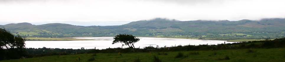
Click on the map above to see a larger version.
I worked on the project in several different graphics applications. I’d initially brought the rough Google imagery into Adobe Illustrator as a template and over that drawn and labelled the major roads and other features – like the course of the two railway lines that used to pass through Somersham. I also considered how to indicate the places of interest. I decided to go with numbered callouts in circles with a line pointing to the exact location.
It quickly became evident that building the entire A0 panel in Illustrator was going to become too unwieldy. It was fine with the low-resolution Google imagery, but the real hi-res file would be enormous and rather too big to scale, rotate and position precisely in Illustrator: it was so big that it would also slow the application down no end. As a result, I decided to build the panel in InDesign, and create the numbered callouts direct in the InDesign document on their own layer. This was also a much better idea for setting the text which, while not extensive, was much easier to manage in InDesign.
Helpfully, you can bring all kinds of files into InDesign with a great deal of flexibility – in particular if they come from another Creative Suite application. So I could import the Illustrator file in its own .ai format and turn different layers (such as the roads and labelling) on and off as required without having to re-export the image.
The Big Imagery File ultimately arrived and was surprisingly easy to bring into InDesign, size and rotate to the correct angle. To allow the imagery to be displayed as large as possible, I rotated the entire map so that the Parish ran from bottom left to top right. This put North at around 45 degrees. It also left a large area bottom right for a key to the Places of Interest and top left for the history of the town. Meanwhile along the bottom there was room for a pair of panels to include pictures of Old Somersham, kindly provided by the local Historical Society.

The Working Group determined the final list of locations. Some went back to the 18th century (and a couple back to Roman times), and while the obvious ones were easy to find, some were much more tricky. And I also came to find out a lot more about the history of the area and where some of the names came from. I was soon studying 1st Edition Ordnance Survey mapping, and earlier maps too: happily a lot is available on-line these days. I found the sites of old windmills; the origin of the name “The Pykle” (it dates back to around 1200 and means a field remnant: it is nothing to do with Parkhall Road formerly being called “Parkle Lane” – Parkle was a village to the North of town – and indeed, the name Parkhall had nothing to do with the Manor Hall that stood on that road); and the site of a weir used for cleaning cartwheels. I also discovered that nobody seemed to be able to agree on the exact location of the Special Operations Executive airstrip that was active during the Second World War. Evidently its secret was maintained. Fascinating.
Finally the map was finished and I was able to get my friends at local display graphics company Cameo in St Ives to run up some full-sized proofs: the final result was approved and I gave the Parish Council a hi-res PDF for the panel manufacturers to work from. We suffered a bit of a delay as the County had to come up with their own footpath map artwork, but eventually it was supplied and the project went into its production phase. Ultimately the panel was delivered and a date was set for its installation.
Sadly, during that time, Hattie herself passed away. The map was erected on Friday 5th by Michael Murray, who kindly provided these photographs, and it was unveiled officially on Saturday 6th August 2011, representing a fitting tribute to Hattie and recognising her love and good works for the town and people of Somersham. Here’s a video of the unveiling, and you can read more about it here.